Altitude above sea level
Where the device has a pressure sensor it carries the measurement - steadier and more precise than GPS alone. Where it does not, the satellite receiver takes over.
Altiko reads altitude above sea level, speed and heading straight off the device — large, direct, no sign-up.
Free · no account · nothing leaves the device
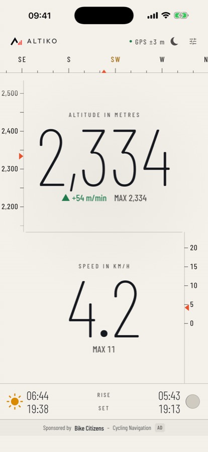
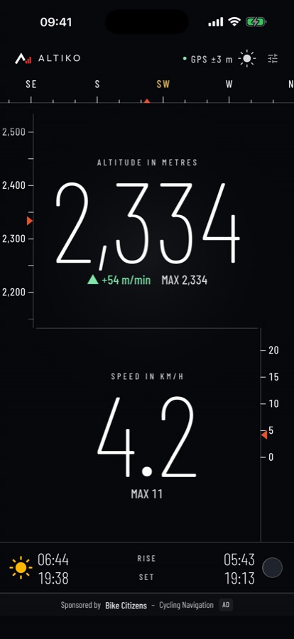
Everything is on one screen. Two scales frame the figures — altitude up the left edge, speed down the right: you catch the direction and the magnitude before you read the number.
Where the device has a pressure sensor it carries the measurement - steadier and more precise than GPS alone. Where it does not, the satellite receiver takes over.
With a noise floor, so the reading rests at zero while you stand still instead of twitching.
From the magnetometer, not from your direction of travel. Corrected to true north.
Metres per minute, plus the highest point since you started - highlighted while you are climbing.
Rise and set for where you are, with the moon drawn at its actual phase rather than as a symbol.
Metres with miles per hour is a sensible combination - Altiko allows it. Numbers follow your region's notation, and light or dark is one tap.
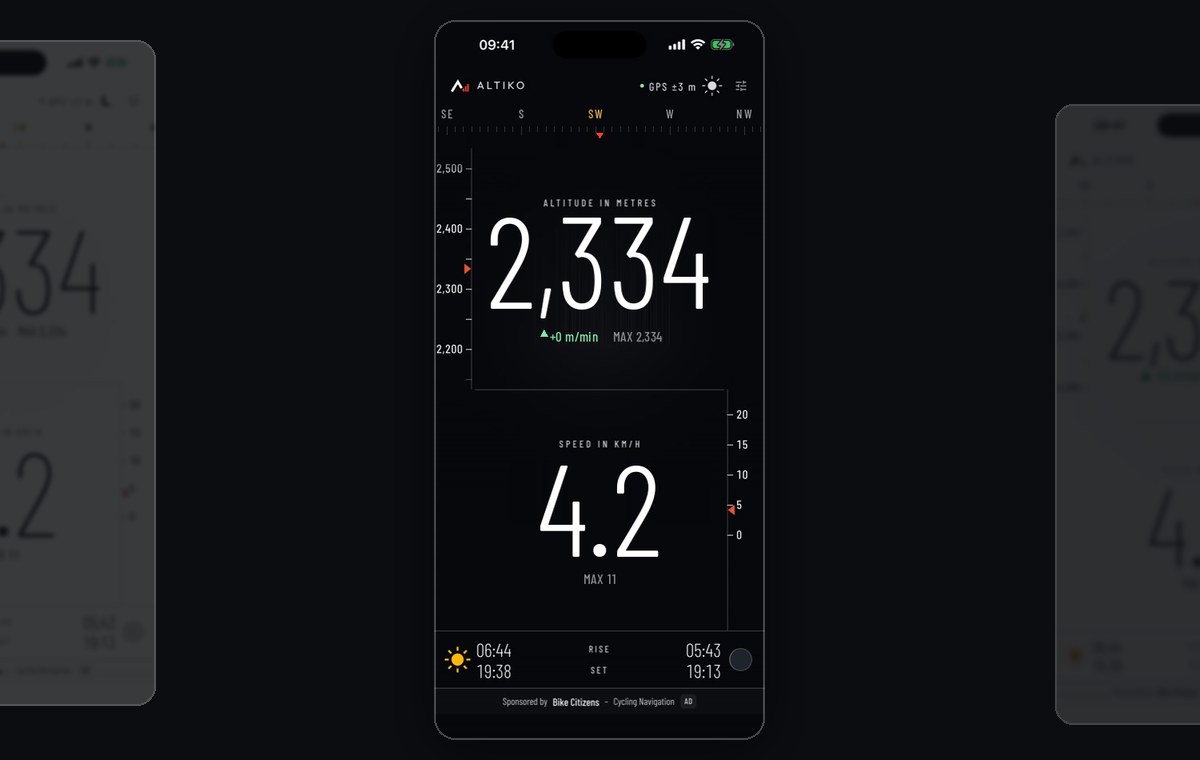
Twelve seconds of a climb up the Nordkette above Innsbruck. Altitude, rate of climb, speed and the compass move; the light variant sits behind.
Two things make the altitude more precise.
Most recent phones have a barometer. Altiko uses it for altitude - steadier and more precise than GPS alone. Without one, GPS takes over.
On Android, Altiko reads the GPS receiver directly instead of Google's location service - more precise, and your position never goes to Google.
Altitude is shown above sea level - only on Android 13 can it be off by a few dozen metres. Altiko is not meant for safety-critical use.
The app contains no networking code for normal operation. No server, no account, no analytics, no crash reporting, no ad network, no advertising ID.
No ad network, no personalisation, no impression tracking.
The app is sponsored by